
The aqueducts that cross the interior of São Miguel are built from volcanic stone and shaped to follow the terrain. Most are unmarked. Some sections remain hidden beneath moss or overgrowth, others stretch in clear arcs across ravines. They don’t appear on every map, but they remain visible to those who walk slowly and notice the edges.
Following a line through the forest
One of the best-known examples is the Aqueduto do Carvão, though most who pass it wouldn’t know it by name. Sections of it run beside other trails. Some are interrupted by road cuts or forest shifts. But if you trace the path, it becomes legible: a narrow stone channel sometimes raised on arches, sometimes buried beneath roots or leaf fall.
These structures once carried fresh water from interior springs toward the coast, feeding into local power stations and town systems. Now, they exist as linear remnants. You can walk beside them, tracing both the route and the changes that time has made.
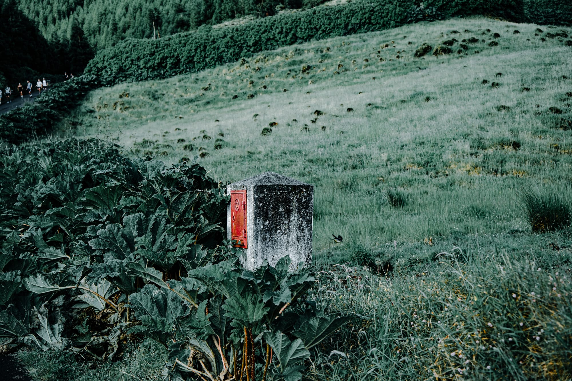
In some areas, you’ll see modern piping installed beside or inside the original channel—evidence that sections are still in use or have been adapted for nearby agricultural needs. It’s not always possible to tell which parts are functioning and which are purely historical. But all of it holds presence.
Walking in shade and stone
The trail cuts through a mix of forest and open slope. Trees include eucalyptus, pittosporum, and clusters of laurel. In damper stretches, ferns spread thick along the path. Moss and lichen cover most of the stonework, softening the geometry. Some sections appear recently cleared, others feel nearly collapsed.
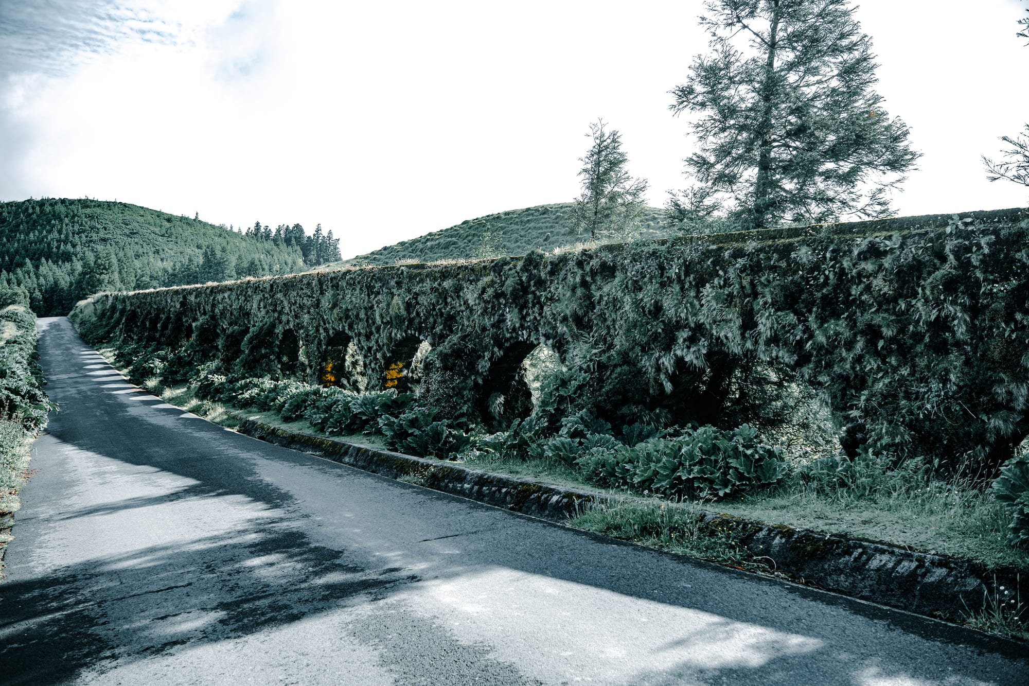
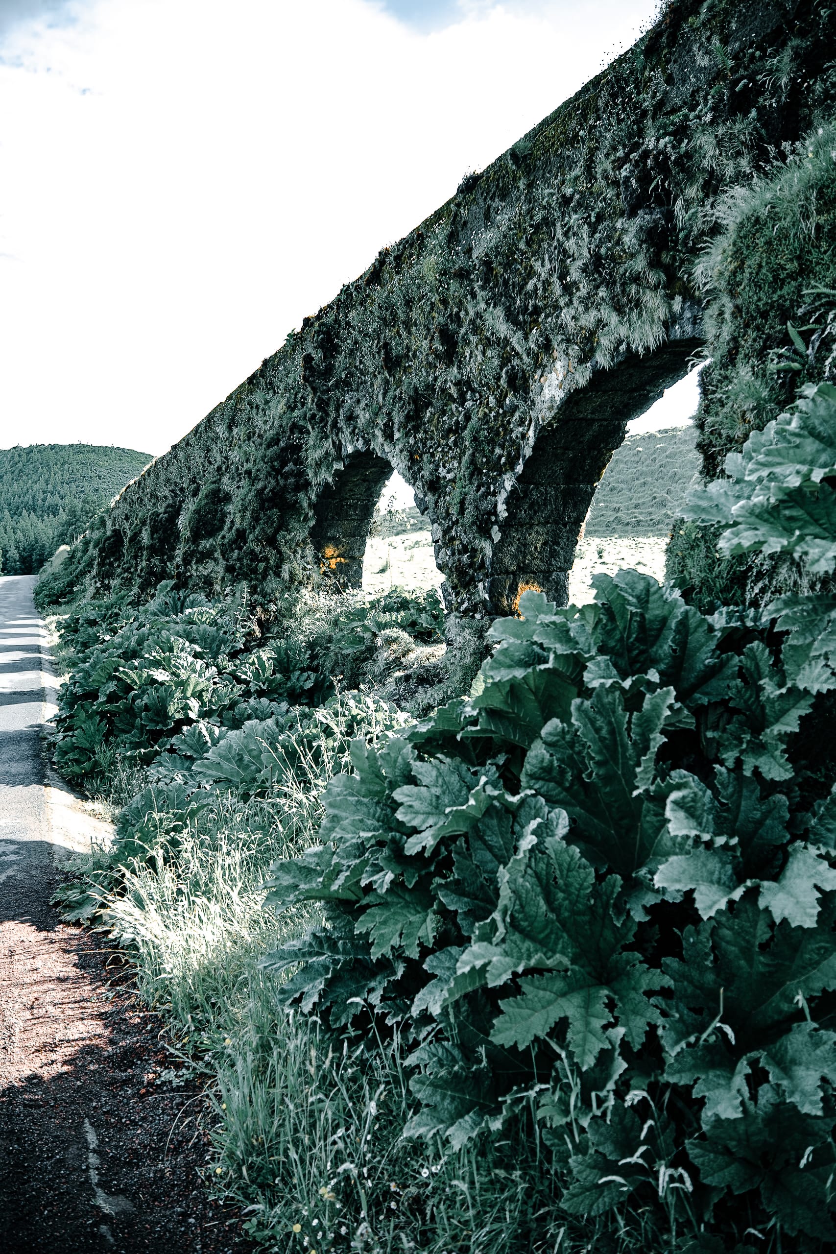
A moss-covered aqueduct stretches alongside a quiet road on São Miguel, occasionally drawing the footsteps of passing hikers
In one bend, bright orange nasturtiums have taken root beside the aqueduct wall. Further up, calla lilies rise from damp hollows, their pale petals catching low light. Ivy creeps across the channel rim. In places, water still runs. In others, it’s dry.
At several points, the aqueduct crosses short gaps in the land—simple stone spans with low arches and visible mortar seams. Small birds pass through the gaps. Rainwater gathers at the base. Each section is different, depending on the exposure and surrounding growth.
Walking the aqueduct path
There is no single aqueduct trail on São Miguel. You’ll find pieces of it embedded in other hikes—through forest, farmland, or upland terrain. Some begin with footpaths, others start with stairs or unpaved track. There are no trail signs or interpretive boards. What you see is what’s there.
The walk is mostly level. The surface shifts: stone, dirt, pine needle, gravel. In wet weather, some areas become slick with moss. Footing requires attention, especially near the older sections.
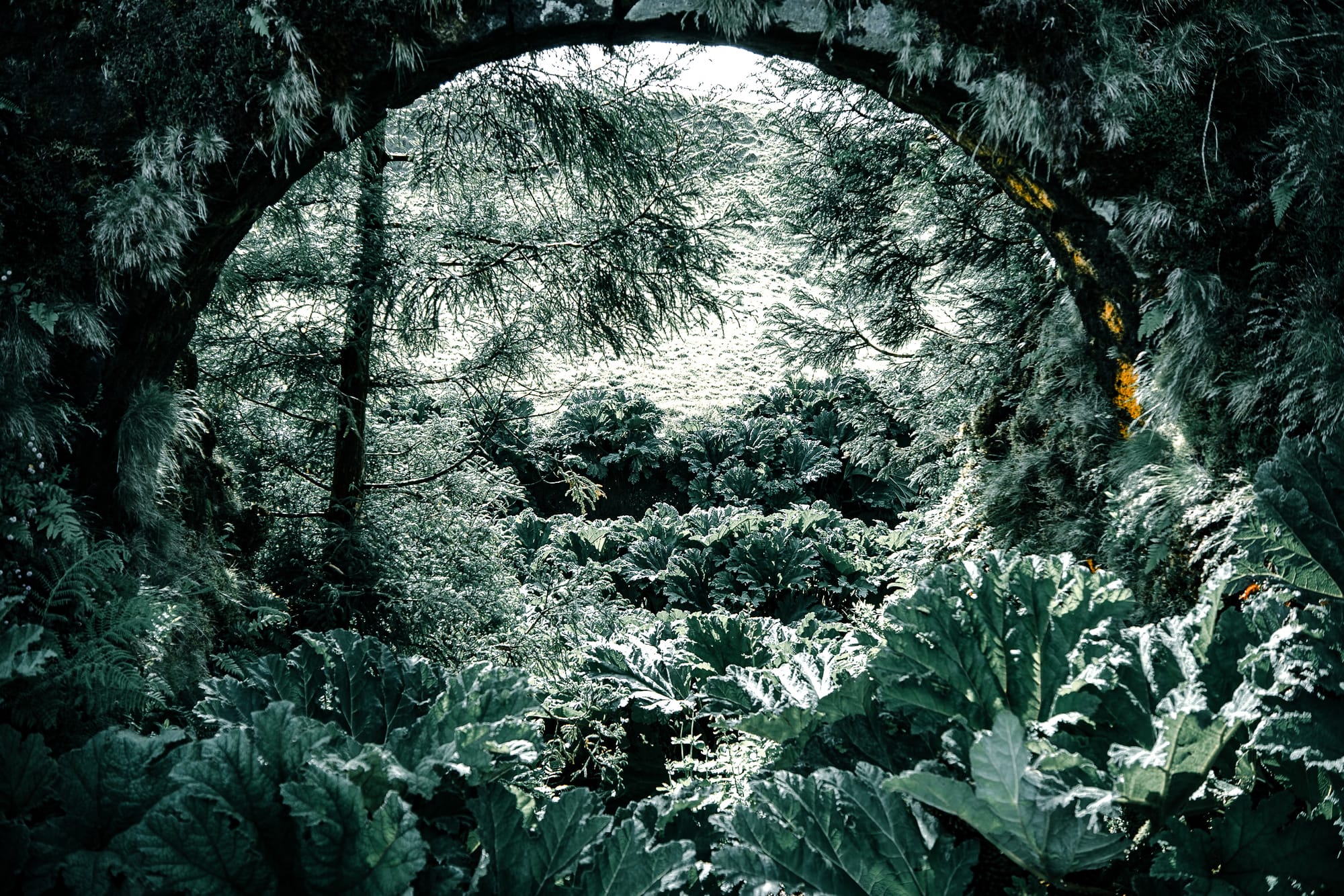
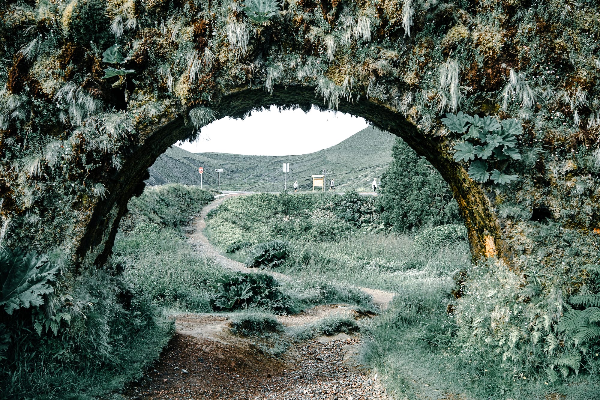
At one point, the aqueduct passes through a narrow gap in the hill. The path leads underneath, then returns alongside it. From below, the structure becomes easier to read: a channel, a retaining wall, a utilitarian line. Its scale is modest. The construction is steady.
If you’re not planning to walk independently, some local guided tours will include short stops near the aqueducts—often as part of larger itineraries that include crater lakes, geothermal springs, or forest lookouts. If you're curious to see a portion of the structure, it's worth checking whether aqueduct access is included in the route.
Aqueducts and terrain
These aqueducts haven’t been formalized as landmarks. They continue to weather and shift alongside the surrounding terrain. Some sections are reinforced with concrete; others show signs of erosion. Many remain intact enough to follow, even when the route becomes informal.
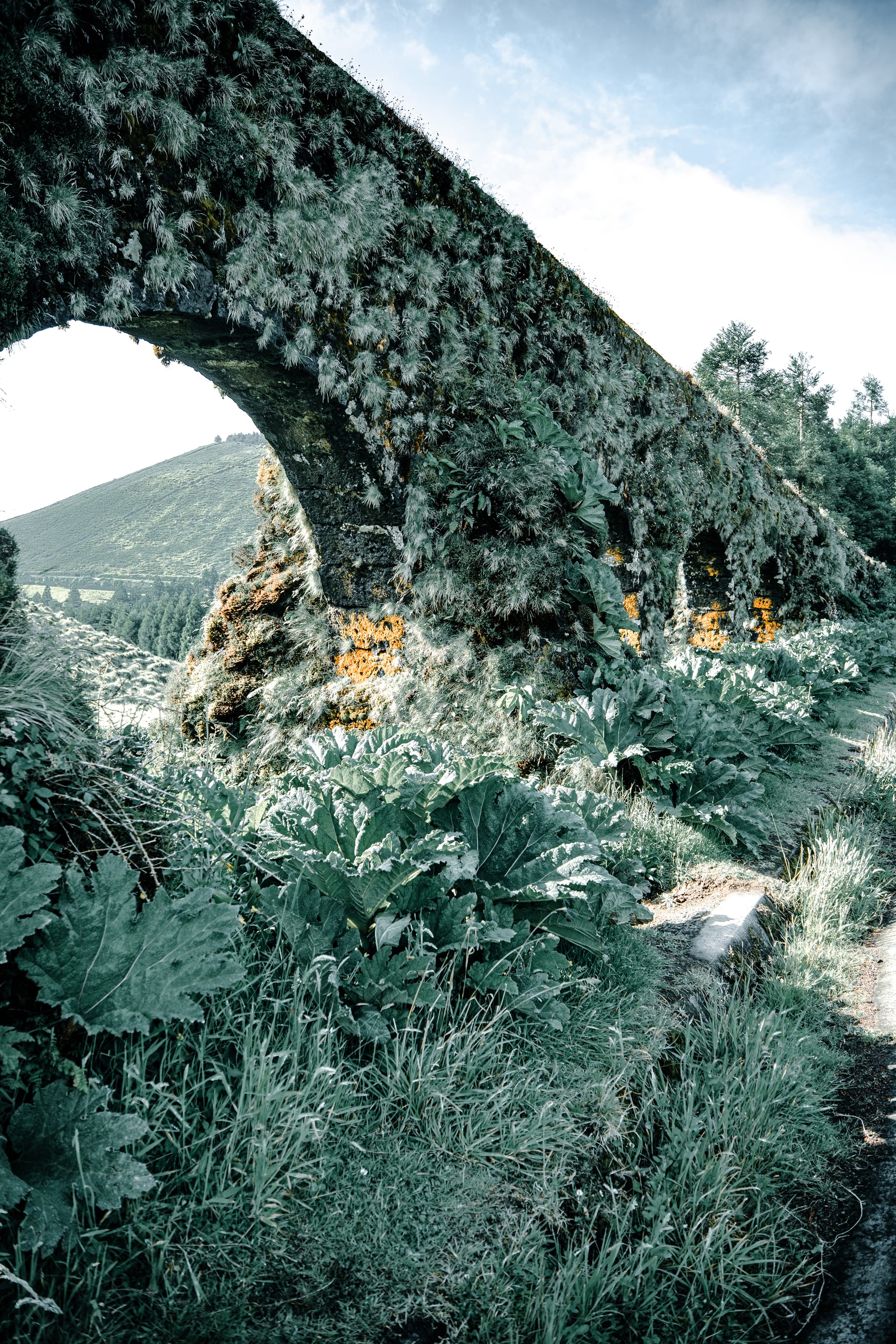
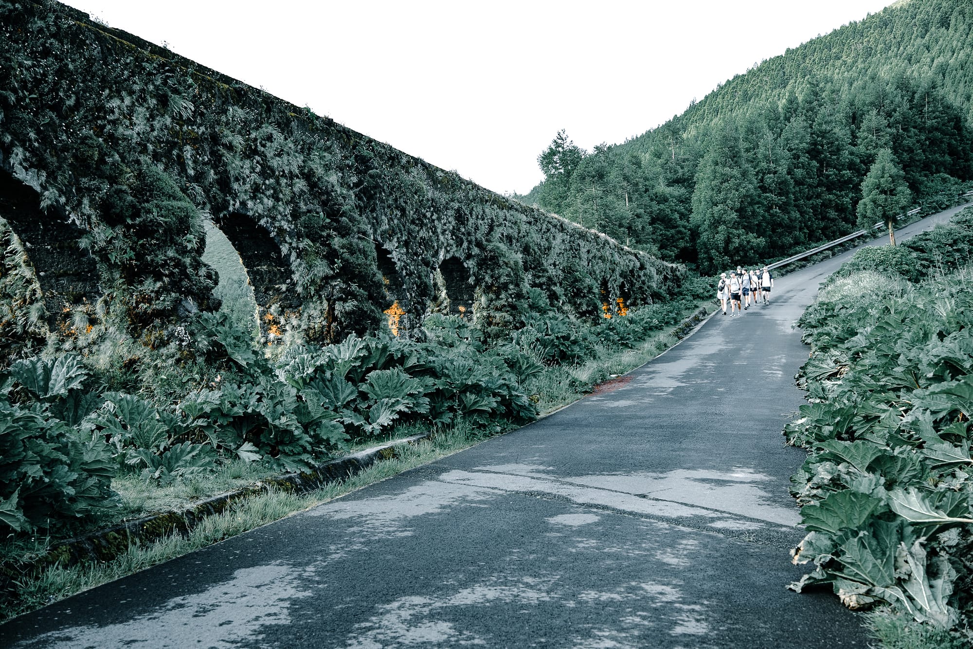
Sections of moss-covered aqueduct rise above thick leaves and volcanic slopes, blending architecture with the forest’s edge
In winter months, fallen leaves collect inside the channel. In spring, the banks fill with color—nasturtium, clover, scattered orchids.
Notes for hikers
- Bring offline maps. Some routes are unmarked.
- Expect to get muddy. Many areas are shaded and stay wet.
- The aqueducts are often easy to miss. Look for low stone walls or narrow raised paths.
- These aren’t loop trails or viewpoints. Most segments are linear.
- Movement is easy, but uneven. Watch your footing.
What remains
These structures are part of the island’s history of water and infrastructure. They were built with purpose and persistence. What you find now are the forms that endure: basalt, mortar, rain, overgrowth.
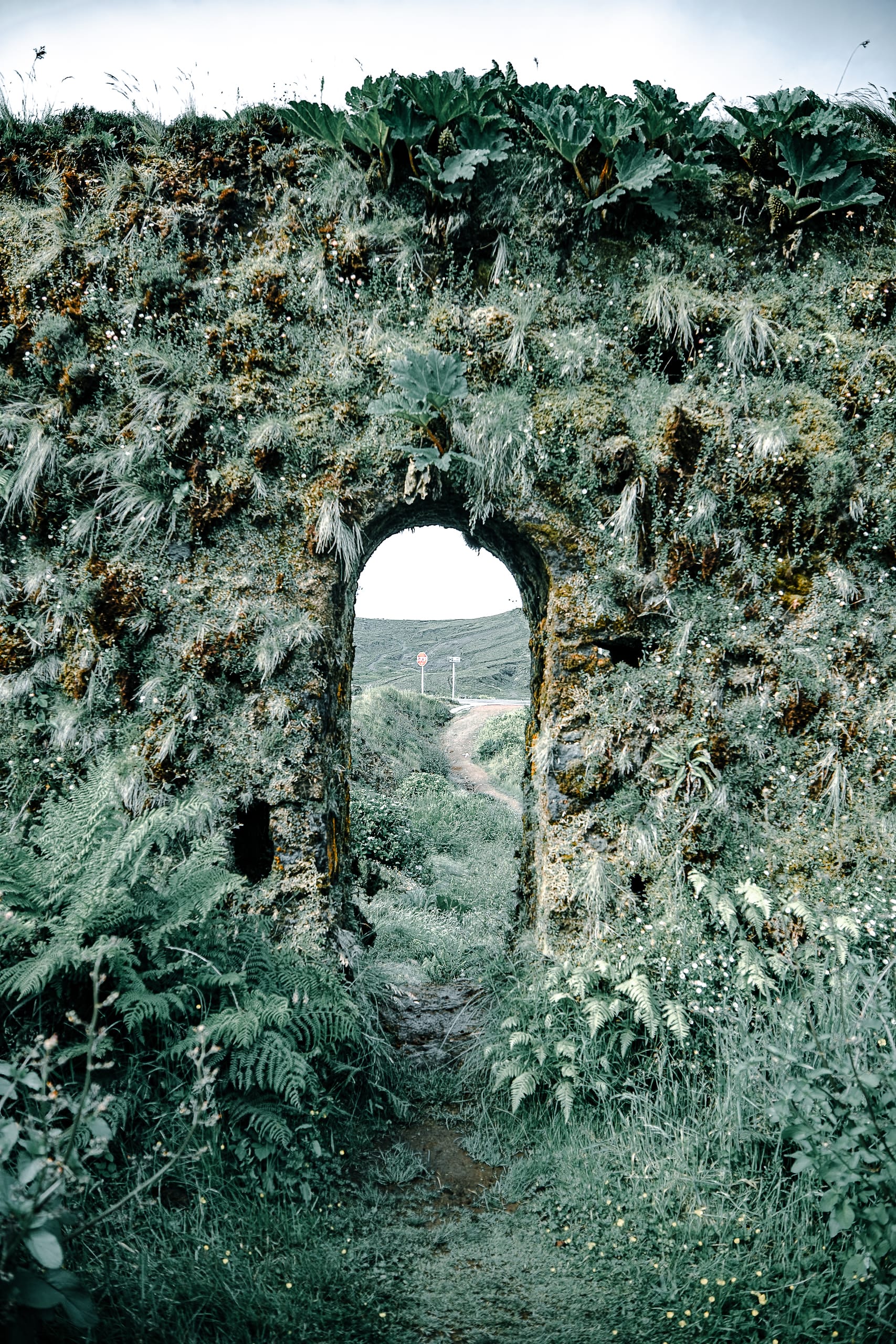
Trails pass through archways in the aqueduct wall, where stone, moss, and volcanic hills converge at the island’s highlands
Walking here is quiet. Most of the sound comes from wind in the trees, moving water, distant birds. The stone holds moisture. Plant life adapts to the shade. A presence is felt not through display, but through repetition.
The aqueducts are still here. You can walk beside them, move with their path, and see how they shaped—and still shape—the landscape.


